Al-Hutaymah Crater in Ha’il: A Visitor’s Guide to Salma Geopark’s Volcano
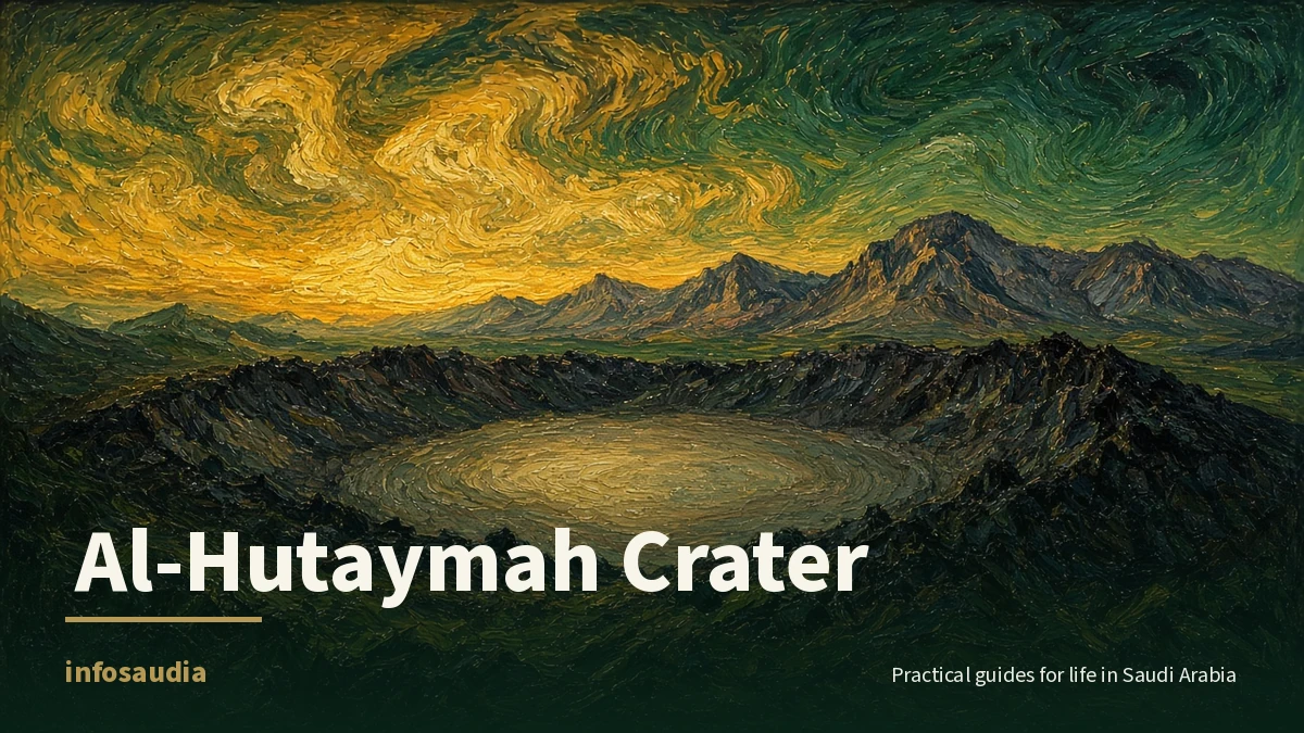
Al-Hutaymah Crater (also written Al-Hutaima) is described by SPA as one of northern Saudi Arabia’s most striking geological landmarks. It sits east of Salma Mountain, measures 1.25 km across and drops 110 metres deep (Arab News, from SPA). It is also a highlight of the Salma UNESCO Global Geopark. If you have already seen Ha’il’s rock art and old forts, this is the volcanic side of the region.
The crater in numbers
- Width: 1.25 km across, according to the Encyclopedia of Saudi Arabia (Tfaseel, from SPA).
- Depth: 110 metres.
- Height: UNESCO lists the Harrat Hutaymah crater landscape at 888 metres above sea level (UNESCO).
- Volcanic field: Harrat Hutaymah has 77 volcanoes and 119 identified vent sites (Salma Geopark). UNESCO describes it as more than 100 vent sites and at least 77 volcanoes.
- Age: the field is less than 2 million years old, which makes it one of the youngest volcanic fields in Saudi Arabia (Salma Geopark).
What you will see
Dark volcanic rock left by old lava flows forms a ring around the crater. Erosion and weathering over thousands of years have shaped the sediments on its floor, so the dark rim and pale floor stand out against each other (Arab News). From the rim you get wide views of the Salma Mountains and the land around them, and the site is popular for photography and desert trips (Tfaseel, from SPA).
UNESCO notes that the wider field includes broad, shallow craters called “maars”, formed when magma met groundwater and exploded. Some sites also hold round volcanic rocks called “bombs” that were thrown out during eruptions (UNESCO).
Part of a UNESCO Global Geopark
UNESCO added Salma Geopark to its Global Geoparks Network in 2025, at the same time as North Riyadh Geopark (Arab News). The geopark covers 314,500 hectares. Its volcanic and magmatic rocks are more than 740 million years old, and the endangered Nubian ibex and Arabian oryx live there (UNESCO). The geopark has identified thirty geosites in total (Salma Geopark).
Note that a Global Geopark is not the same as a World Heritage Site. Ha’il has both: the geopark, and the rock art of Jubbah and Shuwaymis, which is on the World Heritage list.
Make a day of it
The geopark also covers some of Ha’il’s best-known heritage. UNESCO suggests starting at the Faid Museum, near the old fortress and its 45 wells on the Darb Zubaydah pilgrim road, and visiting Tabah Heritage Village, one of the oldest settlements in the region, known for its stone “desert kites” once used to trap wild animals (UNESCO).
- For Faid’s history, read Faid in Ha’il: the old pilgrim city on Darb Zubaydah.
- For roads and the rock art sites, see Visiting Ha’il: rock art, forts, and the roads that get you there.
- For a simple city plan, try our one-day Ha’il itinerary.
Tips before you go
- Pick mild weather. SPA notes the crater is especially popular when the weather is mild. Check the National Center for Meteorology before driving out, because desert rain and wind can cut visibility. Our winter weather prep guide covers cold nights and rainy roads.
- Stay for the stars. The geopark says its skies have very little light pollution, which makes it good for stargazing (Salma Geopark).
- Leave no trace. The geopark follows “Leave No Trace” rules. Visitors should stay on marked trails and must not remove natural objects. Its website lists guided tours on marked trails with information signs.
FAQ
How big is Al-Hutaymah Crater?
About 1.25 km across and 110 metres deep.
Where is it?
In the Ha’il region, east of Salma Mountain, inside the Salma UNESCO Global Geopark.
Is Al-Hutaymah a UNESCO World Heritage Site?
No. It is part of a UNESCO Global Geopark, which is a separate UNESCO program. Ha’il’s World Heritage Site is its rock art at Jubbah and Shuwaymis.